


The first weekend of calendar spring will feel more like winter on the slopes—windy with fresh powder and below-average highs.

If you plan to head to the slopes this weekend (or any mountain)… it will be windy and cold. We're tracking an incoming system that will deliver snow, and solid wind gusts, to the mountains Friday and Saturday with thundersnow possible Saturday afternoon along I-70. While we've seen plenty of stronger systems this season, the big impact with this storm is the strong jet stream above the state as the system drives through. Wind driven snow will be likely, which will make for very difficult travel through the day Saturday.
But - it will be windy on the hills through the weekend. Diving into the wind forecast a bit more:

Friday's winds will be out of the northwest. Gusts of forty to fifty miles per hour at most slopes with the strongest wind in the northern mountains.

On Saturday, it will be windier everywhere with fifty to sixty mile per hour gusts… strongest in the southern mountains.

On Sunday, the strongest winds will be in the northern mountains but less windy than Friday and Saturday.
So - now lets talk about the snow.
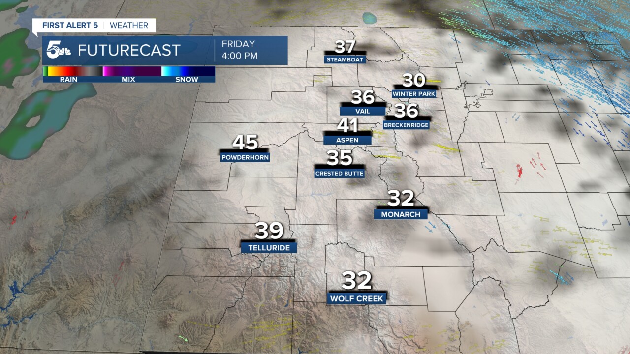
A few snow showers will hit early Friday with the rest of the day looking dry.

Saturday will see another impulse of energy arrive in the morning, which should persist in the afternoon, becoming lighter during the second half of the day but persisting into the evening.

Sunday will return to dry conditions.

You can expect healthy totals from Saturday's system in the Elks and northern mountains with many spots picking up 8 to 12 inches - represented by the pink shading on the map above. We could see higher totals well above tree line.
Sunday is the best day to ski this weekend. It'll be breezy but you'll have fresh powder and it won't be snowing. If you can swing it - Monday is probably the best option, as the wind will reduce, and you'll still get at least a bit of carryover from the weekend moisture. Otherwise, Sunday is the pick...and be prepared for some wind.
____
Have a question or story idea you would like the First Alert 5 Weather team to consider? Email: weather@koaa.com
Watch KOAA News5 on your time, anytime with our free streaming app available for your Roku, FireTV, AppleTV and Android TV. Just search KOAA News5, download and start watching.
