Have you ever walked outside in Pueblo on a cold morning and seen the haze in the sky? Or watched our morning forecasts and seen Woodland Park is warmer than Pueblo? It’s very common at this time of year. It doesn’t make much sense. We instinctively know it should get colder the higher up we go. But that isn't what happens on many winter nights here in Colorado. In meteorology, when temperatures rise with altitude, we call it an inversion - because it's the opposite of the way temperatures typically work. When we get inversions, it leads to several significant issues - and Colorado gets inversions much more often than other parts of the country.
WHAT CAUSES AN INVERSION?

A temperature inversion typically happens due to rapid cooling close to the ground and moderate warming in the mid-levels of our atmosphere. After sunset, the ground cools quickly and so does the air right above it. This air cools more than air further up in the sky.

Inversions are more common and often much stronger in Colorado than in other parts of the country due to our mountains. On a calm, clear night with light winds... the ground on the mountains cools fast as heat escapes to space.

Given the size and scope of our mountains...this is a large area of rapidly cooling air. This large zone of cold air quickly sinks into our valleys and gets trapped in the bowl like shapes of the Arkansas River and San Luis valleys. From there, this air can't spread out due to the upward sloping terrain in most directions.
These inversions aren’t just interesting science. They cause real problems for us.

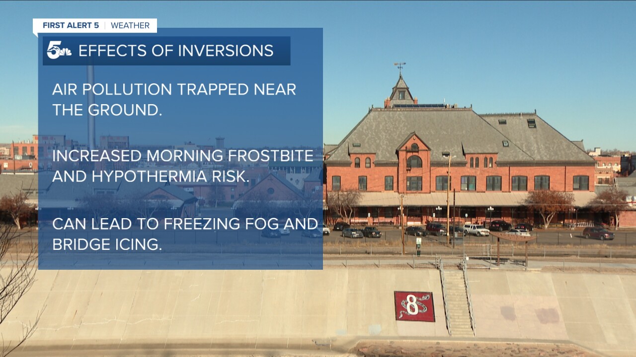
First… they hurt air quality. Normally, air gets mixed around in our atmosphere… but cold air is denser than warm air, so it sinks… like throwing a stone into water… preventing mixing. This keeps pollutants from cars, power plants, and anything else...close to the ground and easy for you to breathe in.

When you see a hazy sky on a cold, calm morning in the Arkansas River Valley… you’re looking at trapped air pollutants that are being held near the ground.
They also lead to valley temperatures much lower than we’d get without inversions, sometimes 20 degrees colder and in rare cases even more. This can push temperatures to near zero...increasing risks of frostbite and hypothermia.
Finally, they can lead to areas of freezing fog and icy bridges early in the day if enough moisture is trapped near the ground.

Inversions are so common here in the winter that they show up in our climate data. Pueblo is colder at night than Colorado Springs from October 3rd to March 25th on average. Given the lower elevation of Pueblo relative to the Springs, this means inversions are actually the norm here in the winter rather than the exception. Inversions are less common in most of the country where we don't have the same vertical elevation changes leading to cold air draining into the valleys.
Ultimately it's another reason to know your forecast out the door in the morning every day in winter - we can easily predict inversions days in advance. But, predicting small scale effects that may only span 10-20 miles, like a patchy zone of freezing fog, can only be nailed down about a day out!
____
Have a question or story idea you would like the First Alert 5 Weather team to consider? Email: weather@koaa.com
Watch KOAA News5 on your time, anytime with our free streaming app available for your Roku, FireTV, AppleTV and Android TV. Just search KOAA News5, download and start watching.


