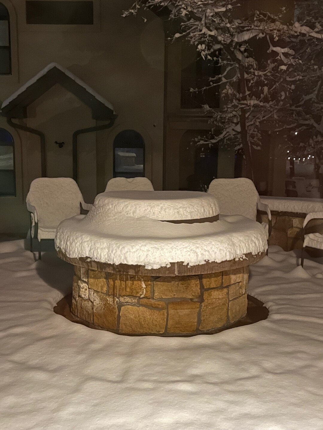
Southern Colorado was impacted by a strong spring storm from Friday, April 18th to Saturday, April 19th. The storm brought significant moisture to the southern I-25 corridor, the central and southern mountains, the upper Arkansas River Valley, and some to the San Luis Valley.
Zoom into your city on this map to see how much snow (and moisture) was reported:
SNOW TOTALS IN COLORADO:

TOTAL PRECIPITATION IN COLORADO:
Radar estimates in areas between reports suggest widespread 1" liquid totals in the Upper Arkansas River Valley, the aptly named Wet Mountains, parts of the Pueblo metro, and portions of El Paso County:

THE STORM THROUGH YOUR PHOTOS:
Longtime contributing viewer Bruce Hausknecht shared this stunning view of the sunrise Saturday morning from Garden of the Gods:

Montgomery Lee sent in this photo of the storm in progress Saturday morning near Westcliffe:

Bonnie Sumner captured this shot as the sun rose Saturday morning in Woodland Park:

Steele Watkins captured several photos at the Wet Mountain Getaway, about 5 mi NW of Rye, CO. He measured 13" of snow at the property:

Cañon City was particularly hard hit, with the city picking up between 8-11.5 inches. Beverly Essex shared her view of a sagging pine tree in the morning light:

Bill Bayles shared his view of the dense, good-for-snowball-making snow that fell across the Pikes Peak Region. This photo was taken well before dawn in the Broadmoor Bluffs neighborhood:


And our own Megan Cloerty shared this adorable photo of Cliffy the dog enjoying the snow in Colorado Springs on Friday afternoon:

Have a weather photo you'd like us to share? Email weather@koaa.com
____
Have a question or story idea you would like the First Alert 5 Weather team to consider? Email: weather@koaa.com
Watch KOAA News5 on your time, anytime with our free streaming app available for your Roku, FireTV, AppleTV and Android TV. Just search KOAA News5, download and start watching.


