The first storm of the month, and the second of the season left behind a snowy mess in Teller County Thursday morning. Teller County saw the bulk of the accumulations, with little snow reported for areas below 6,000 feet.
The storm was a tricky one! It originated in the Pacific Ocean, not from the Gulf of Alaska. Given its warmer origins, snow levels stayed high throughout the state as temperatures in many lower elevation areas remained above freezing.
The snow first started falling late Wednesday morning, with big fat flakes over the Palmer Divide and northern Teller County. As the cold front slid south into a warmer airmass, it was a mix of rain and snow that fell for a few hours in the Colorado Springs area.
After a brief break in the action, the main energy from the storm arrived Wednesday evening, leading to more snow into the overnight hours. Most areas saw the snow come to an end before sunrise.
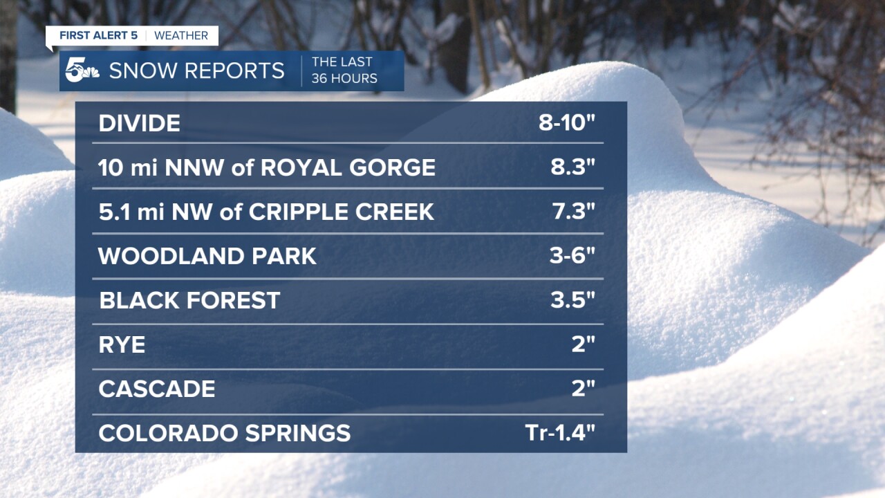
Top snow totals from Wednesday afternoon through 11:30 am Thursday:

Additional snow totals reported from across Southern Colorado:
* Florissant: 4"
* Fort Garland: 1.6"
* Aguilar: 1.9"
* Walsenburg: 0.7"
* Beulah: 1.5"
* Canon City: Trace
* Pueblo: None
Pictures from around Southern Colorado:
We want to thank our viewers for checking in with us during and after the storm. Reports from around the region help us to fill in the gaps of missing data. Here's a few viewer photos that I wanted to share.
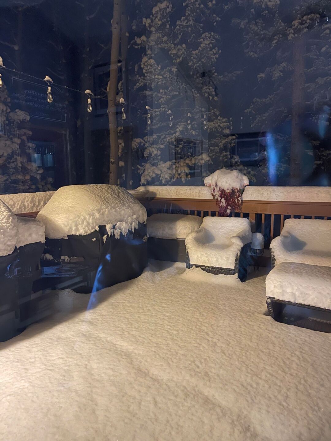
Thanks to Coleen Chrencik Hellen for sharing this photo with us from Raspberry Mountain in Divide.

Thanks to News5 viewer Scott Harrison from Gleneagle for this picture.

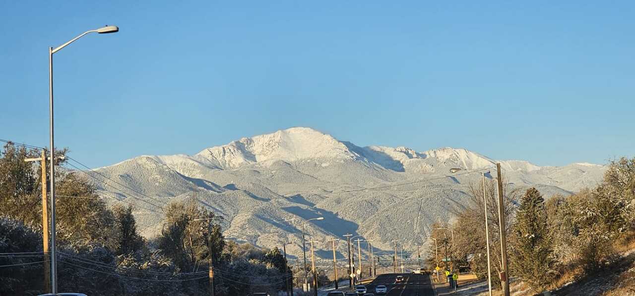
Thanks to Kristine Moor for sharing this stunning view of Pikes Peak with us!

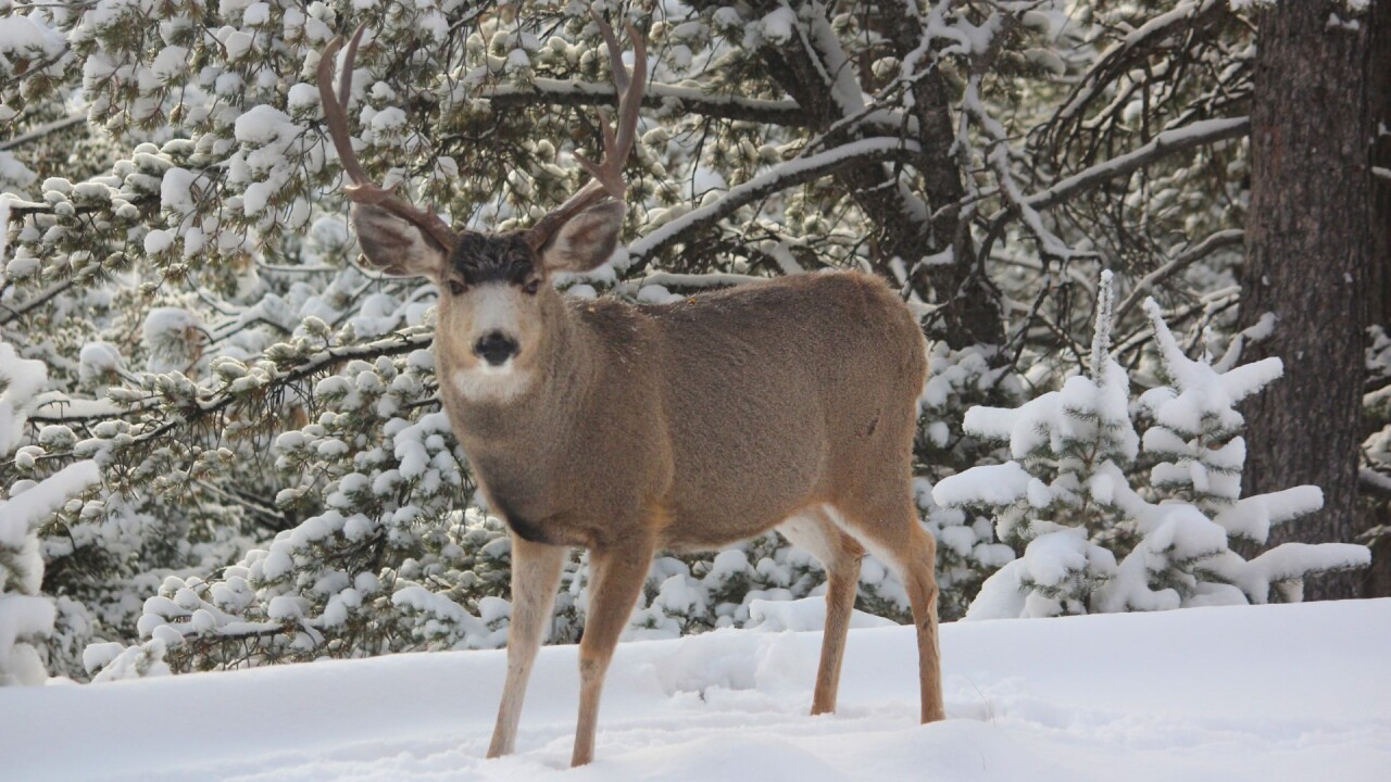
News5 viewer Kym Shumard shared this picture of a buck near her house in Divide.

____
Have a question or story idea you would like the First Alert 5 Weather team to consider? Email: weather@koaa.com
Watch KOAA News5 on your time, anytime with our free streaming app available for your Roku, FireTV, AppleTV and Android TV. Just search KOAA News5, download and start watching.


