
Today’s Forecast:
A cool front that moved through the southeastern Plains last night will cool tempratures on Tuesday by around 3-8 degrees. Even with the cool down, temperatures will still be above average for this time of year. Colorado Springs averages 58 degrees and Pueblo averages 63 degrees. There is a chance for some showers and thunderstorms along and south of Highway 50 today. Some gusty winds will be possible with these high-based showers. Showers and cloud cover will move out overnight with clearing skies into Wednesday morning.
Colorado Springs forecast: High: 68; Low: 40. A modest cool down will take highs down to the upper 60s, after warming into the lower 70s on Monday. Expect morning sunshine to turn to partly cloudy skies this afternoon, with mostly dry skies today in the Pikes Peak Region.
Pueblo forecast: High: 73; Low: 38. After climbing into the 80s on Monday for the first time this year, our high today will be slightly cooler, topping out in the lower 70s.
Canon City forecast: High: 70; Low: 41. Mild sunshine will dominate our skies early, with increasing clouds as we make our way into the afternoon hours. A spot shower or two will be possible in the mountains of Fremont County this afternoon or evening.
Woodland Park forecast: High: 62; Low: 33. Spring has sprung, with today's forecast feeling more like late April or early May than late March. Highs in the lower 60s this afternoon will be as much as 10-15 degrees above average.
Tri-Lakes forecast: High: 60s; Low: 30s. Sunny skies this morning will give way to a partly cloudy and mild afternoon. With highs in the 60s today, any rain or snow threats are not likely in the Tri-Lakes area.
Plains forecast: High: 60s/70s; Low: 30s/40s. Warm, with sunshine early giving way to partly cloudy skies this afternoon. For areas nearby and south of the Arkansas River today, we'll see a slight chance of an isolated shower or thunderstorm through this evening.
Walsenburg and Trinidad forecast: High: 60s/70s; Low: 30s/40s. Warmer than average highs will continue on Tuesday. With increasing clouds this afternoon, we can't rule out an isolated shower or thunderstorm nearby the southern I-25 corridor.
Mountains forecast: High: 40s/50s; Low: 20s/30s. Sunshine early will give way to a nice and mild afternoon, with highs in the 40s and 50s on Tuesday. Increasing clouds this afternoon will bring a slight chance for rain and snow showers to the high country, with snow levels today around 8,500 to 9,000 feet.
Extended outlook forecast:
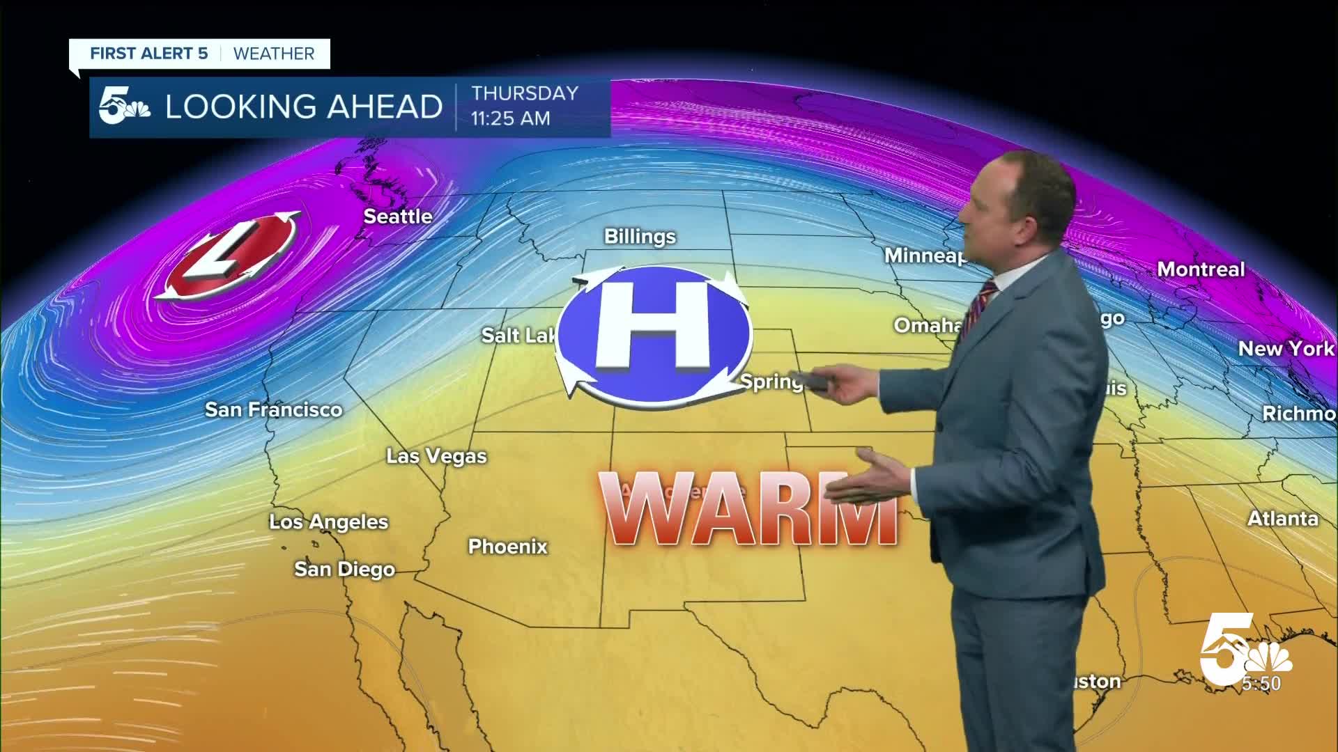
Going into Wednesday, there will be another chance for some showers, but this chance remains small. Anything that forms will likely be closer to the higher terrain. With how dry it's been, some of this rain might not fully reach the ground. Temperatures will remain above average for most of the region. We could potentially break our daily record high on Thursday in Colorado Springs and Pueblo. Temperatures across Southern Colorado will be in the 70s and 80s from Wednesday to Friday.
We have another incoming storm system late Friday evening. There are still some inconsistencies with the models, but the best chances for any precipitation will be across the central and northern mountains. This system will also help to cool us back to near normal temperatures. Local rain and snow chances look highest for now from Saturday evening into Sunday morning.
____
Curious about the First Alert 5 Weather Storm Impact Scale? Check out our cheatsheet explainer.
Watch KOAA News5 on your time, anytime with our free streaming app available for your Roku, FireTV, AppleTV and Android TV. Just search KOAA News5, download and start watching.
