
Tonight's Forecast:
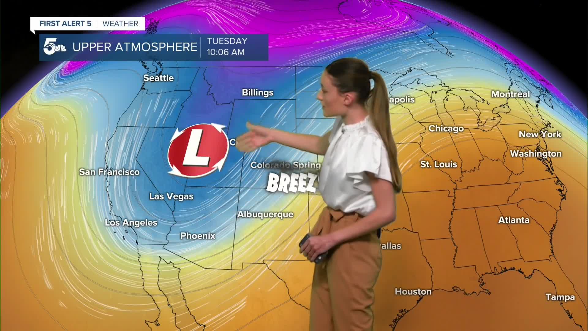
Temperatures tonight will be a little more mild, but it will still be chilly. Most of us will be in the mid 40s for tonight's lows. Higher based cloud cover is starting to move in from a storm system off to our west. This storm system will bring breezy conditions as well as fire danger risks to the area tomorrow.
Colorado Springs forecast: Low: 50; High: 75;
Red Flag Warnings will be put into place from 11AM on Monday until 6PM. Very dry conditions as well as stronger wind gusts could help fires spread quickly. Avoid burning at this time. Highs tomorrow will be well above average for this time of year in the mid 70s.
Pueblo forecast: Low: 47; High: 80;
Tonight's lows will be a little more mild in the upper 40s. Breezy conditions will pick up tomorrow and will lead to increased fire risks. Highs tomorrow will get into the lower 80s, which is above average for this time of year.
Canon City forecast: Low: 51; High: 77;
Canon City will start to see more clouds enter overnight and lows will be a little warmer than what we saw this morning. Temperatures will warm up into the upper 70s and we will get some gusty conditions throughout the day. Canon City is not included in the Red Flag Warnings, but conditions could still be favorable.
Woodland Park forecast: Low: 39; High: 67;
Woodland Park will get down into the upper 30s tonight, so if you have an early morning commute, a jacket will be needed headed out the door. Highs tomorrow will get into the upper 60s, which is still above average for this time of year.
Tri-Lakes forecast: Low: 50; High: 72;
Tonight's lows will get down into the lower 50s, so not quite as cold as we have been. Temperatures will warm into the lower 70s, and we will see breezy conditions throughout the day. Monument is included in the Red Flag Warnings, so avoid burning anything at this time.
Plains forecast: Low: 40s; High: Upper 70s/Lower 80s;
Temperatures tonight across the plains will get into the 40s, but by tomorrow we will be in the upper 70s/lower 80s. Most of the plains are not included in the Red Flag Warnings because the conditions don't quite meet the criteria for them. We will still see some gusty conditions and there most severe drought conditions that we are seeing is just east of Lamar.
Walsenburg and Trinidad forecast: Low: 53/52; High: 73/77;
Lows tonight will be a little warmer than what we have seen in the lower 50s. We will be warming back up into the 70s with lower 70s towards Walsenburg and upper 70s for Trinidad. Breezy conditions will pick up tomorrow, especially in the afternoon.
Mountains forecast: Low: 30s; High: Mid 60s;
The mountains are in for another ride as this next storm system approaches Colorado. The San Juans could see an additional 8 to 16 inches of snow above 10,000 feet. Winter Weather Advisories are currently in place for those peaks. Pikes Peak is not included in any watches or warnings as of 5:00 on Sunday.
Extended outlook forecast:
A few cold fronts will move through this week from a low-pressure system that will move through late Monday through Wednesday. This is what will fuel those breezy conditions on Monday and eventually bring some cooler temperatures on Wednesday. The greatest chance for any precip will be overnight Tuesday and into Wednesday. We could see a rain/snow mix for here in the Springs, but no accumulations are expected. We will be dry and cool for Halloween.
____
Curious about the First Alert 5 Weather Storm Impact Scale? Check out our cheatsheet explainer.
Watch KOAA News5 on your time, anytime with our free streaming app available for your Roku, FireTV, AppleTV and Android TV. Just search KOAA News5, download and start watching.
