


Disclaimer: This is sponsored content. All opinions and views are of Monarch Mountainand does not reflect the same of KOAA.
After a long dry stretch, change is finally coming to the ski slopes. Many reports this week of thin, wind scoured, or bare terrain following a long stretch of minimal snow, above freezing temperatures, and strong wind gusts. Spring like conditions in the southern mountains as well due to a lack of recent snow.
Checking totals season-to-date and comparing to current base depths... Copper has the most total snow on the season so far. Central resorts are doing okay even though January was below average for them.
On the other hand, Wolf Creek and other southern and southwest resorts are not doing well. Wolf Creek's 119 inches are well below average. And they're at 42 inches of base depth: half of where they should be.

In the last week... no one got decent snow. Steamboat picked up 10 inches. Other resorts picked up 0-2".

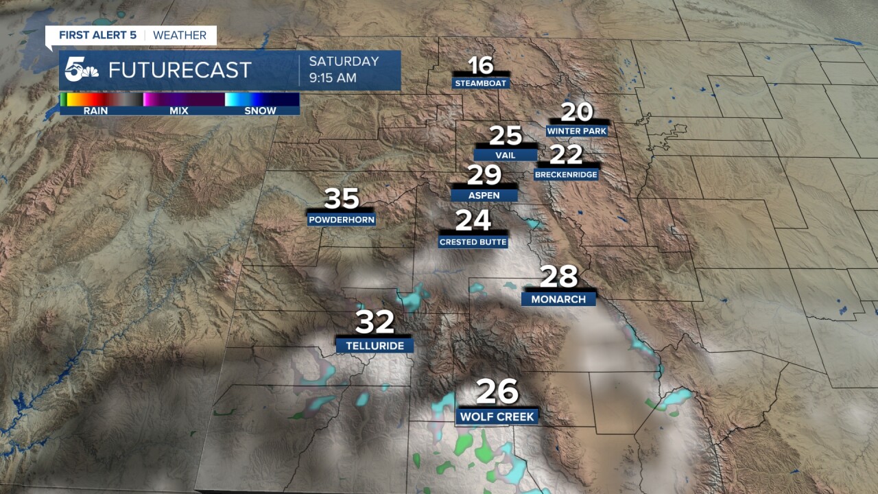
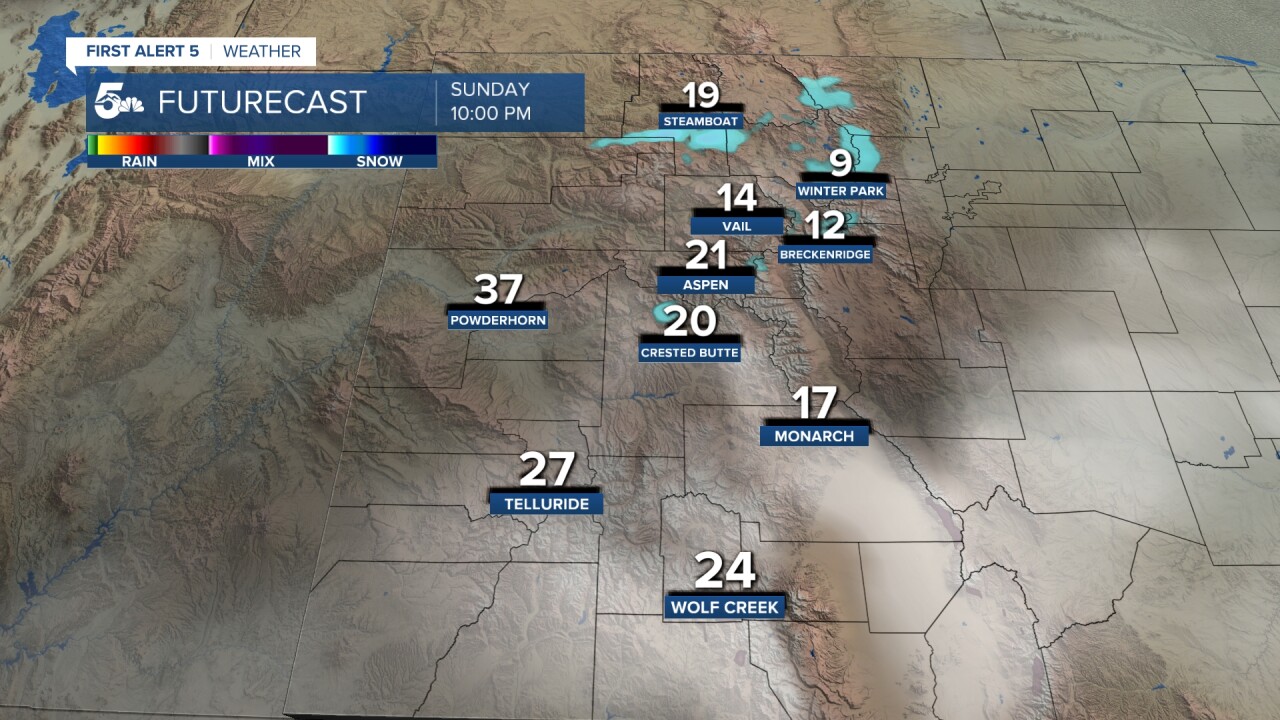
Temperatures this weekend will be colder than last weekend. At Breck and Monarch Saturday and Sunday drop to highs in the 20s.

To the FutureCast we go...
It will be very windy on Friday at all resorts with southwest winds gusting to 50 miles per hour. It's déjà vu from last week as snow develops in the Northern Mountains, heavy at times.


But in a welcome change, snow expands through the Central Mountains overnight into Saturday morning and comes to an end around sunrise. Saturday will remain breezy with widespread gusts to 30 miles per hour and some strong.
Snow returns Saturday night into Sunday morning. It should be light but bring another few inches to many resorts.
While the best snow this weekend is still in the Northern Mountains... the Central Mountains will get several inches from this latest storm system.

Once again... head north for good conditions this weekend. Next week will bring in excellent moisture to the state, and I see good totals coming to even the Southern Mountains.Meteorologist Casey Dorn News Five
__
Watch KOAA News5 on your time, anytime with our free streaming app available for your Roku, FireTV, AppleTV and Android TV. Just search KOAA News5, download and start watching.
