Tonight's Forecast:
Early this evening, a broad area of showers and thunderstorms will continue to bring the eastern and southeastern Plains the best chances for rain. Another batch of showers will also be possible from the Pikes Peak Region south into Pueblo and Fremont counties, with rain likely to end during the overnight hours.
Colorado Springs forecast: Low: 47; High: 65; Cool, fall-like temperatures will be a perfect compliment to our weather on Tuesday. Along with the cooler weather will come the potential for a few showers, most likely from late in the day through the evening hours.
Pueblo forecast: Low: 50; High: 71; A mild, fall-like day for the Steel City won't be a bluebird day, but instead will feature the potential for scattered afternoon/evening showers and thunderstorms.
Canon City forecast: Low: 52; High: 68; Mild, October weather will continue on Tuesday, along with the potential for a few showers and thunderstorms.
Woodland Park forecast: Low: 37; High: 57; A chilly October day for Teller County, and along with the cool weather, Mother Nature could bring a few showers to our forecast by the afternoon.
Tri-Lakes forecast: Low: 40s; High: 50s/60s; The words "cool" and "showery" will best sum up our weather on Tuesday as another round of wet weather will be possible mainly from the late afternoon to evening hours.
Plains forecast: Low: 40s/50s; High: 60s/70s; After staying the 80s the past few days, we'll see more noticeable cooling for the Plains on Tuesday. Along with the cool down, we'll see a chance for showers during the afternoon and evening hours.
Walsenburg and Trinidad forecast: Low: 40s; High: 60s; A cool and unsettled day, with most of the more widespread rain expected to occur across the southern I-25 corridor.
Mountains forecast: Low: 30s; High: 40s/50s; Rain and snow will continue to impact the mountains on Tuesday, with snow levels generally expected to remain near 10,000 feet.
Extended outlook forecast:
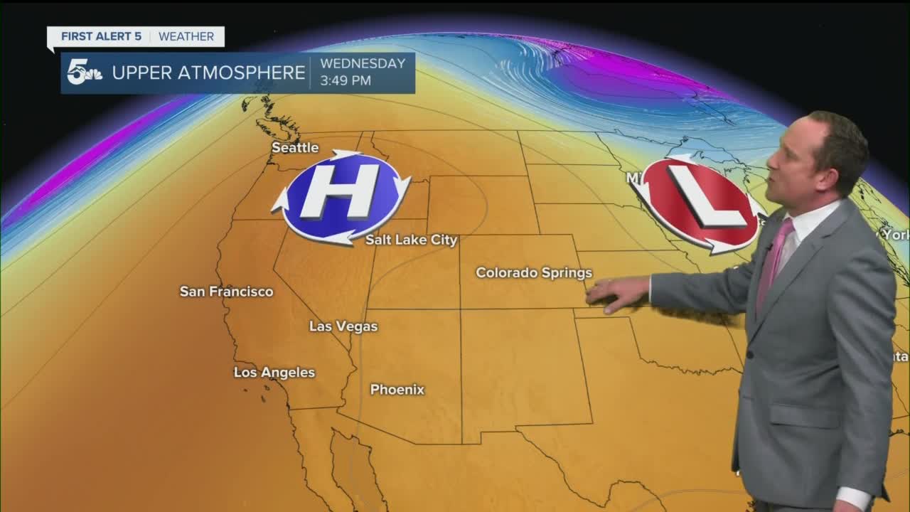
The low pressure system that's been keeping the cloudy and unsettled weather around since the weekend will finally move east on Wednesday, allowing for high pressure to build into the Great Basin. Recycled moisture Wednesday afternoon could lead to a few hit or miss showers. Then by Thursday, drier air is expected to build into Southern Colorado. The dry air combined with fall-like temperatures will make for a pretty nice stretch of weather in our extended forecast.
____
Curious about the First Alert 5 Weather Storm Impact Scale? Check out our cheatsheet explainer.
Watch KOAA News5 on your time, anytime with our free streaming app available for your Roku, FireTV, AppleTV and Android TV. Just search KOAA News5, download and start watching.


