
Today’s Forecast:
A strong high-pressure system will continue to build towards Colorado today, with highs this afternoon about 10 degrees warmer than yesterday. Humidity values will drop below 15% through the afternoon, but winds should remain light enough to keep fire danger threats on the lower end. There will be a few clouds early on, but they will clear out once we get into the afternoon.
Colorado Springs forecast: High: 77; Low: 45. After a comfortable day in the mid 60s on Thursday, highs today will be more than 10 degrees warmer than yesterday, with light southerly breezes this afternoon around 10-15 mph.
Pueblo forecast: High: 83; Low: 43. After a scary grass fire in southwest Pueblo on Thursday, our weather today will be even warmer, with thankfully only light southeasterly breezes for the Steel City.
Canon City forecast: High: 80; Low: 48. Friday's forecast will bring us the warmest temperatures of the week, with our high today soaring to near 80 degrees.
Woodland Park forecast: High: 70; Low: 39. Take advantage of today's weather my friends as we'll see plenty of sunshine throughout the day, light southwest breezes and a mild 70 degrees.
Tri-Lakes forecast: High: 70s; Low: 40s. Friday's forecast will be sunny and much warmer than what we saw yesterday, with highs this afternoon warming well into the 70s.
Plains forecast: High: 80s; Low: 40s/50s. If you're a fan of the heat, you'll be delighted with the forecast these next few days. Today's highs will warm into the 80s on the Plains, with highs tomorrow peaking in the upper 80s and 90s.
Walsenburg and Trinidad forecast: High: 70s; Low: 40s. A very warm forecast for the southern I-25 corridor on Friday, with highs this afternoon running around 15 degrees above average.
Mountains forecast: High: 50s/60s; Low: 30s. More snowmelt sunshine can be expected in the high country on Friday as highs warm all the way into the 50s and 60s. Saturday's forecast looks even warmer, with increasing wind from the west/southwest.
Extended outlook forecast:
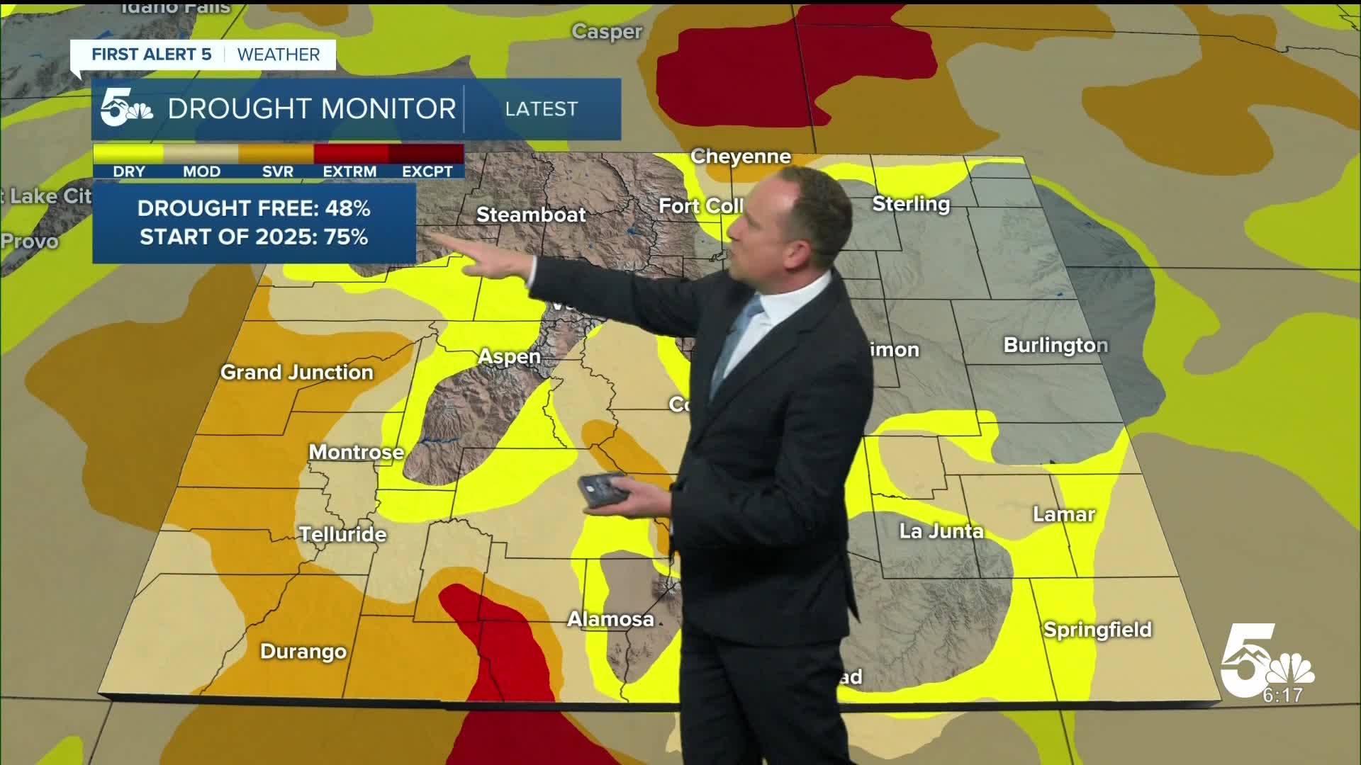
A mini heat wave on Saturday will bring the potential for record breaking heat to the Springs and Pueblo. Highs are expected to warm into the middle 80s for the Springs, and lower 90s for Pueblo. This would be the first day this year that the Springs will hit 80 degrees and the first 90 degree day for Pueblo. With these warmer temperatures, grasses will start to dry out and this will create a risk for elevated to critical fire danger. Fire Weather Watches have been put into place for Saturday.
Things start to change on Sunday with a cold front that will move through later in the morning. Humidity values will go up and temperatures will drop slightly. Highs on Sunday won't be as warm as Saturday. Behind the front, we'll see a slight chance of a few rain and snow showers towards Sunday evening, with snow levels up around 6,500 to 7,000 feet. Starting the work week off, temperatures will be the coolest on Monday before a return to above average highs towards the mid week period.
____
Curious about the First Alert 5 Weather Storm Impact Scale? Check out our cheatsheet explainer.
Watch KOAA News5 on your time, anytime with our free streaming app available for your Roku, FireTV, AppleTV and Android TV. Just search KOAA News5, download and start watching.
