
Today’s Forecast:
We're tracking some snow showers in the Denver metro area this morning, with cloudy skies in place across much of Southern Colorado. There's a slight chance of snow reaching the Pikes Peak Region this morning, but for most of us, we're expecting dry skies on Monday.
Highs will be much cooler than this past weekend, with temperatures today only warming into the 50s and 60s, and sunshine returning after a cloudy start to the day.
Colorado Springs forecast: High: 58; Low: 33. A cloudy and cool start to our Monday, with highs this afternoon much cooler than what we saw this past weekend after a record high in Colorado Springs Saturday of 86 degrees.
Pueblo forecast: High: 62; Low: 34. Cloudy skies this morning will give way to sunshine and mild highs this afternoon, with temperatures down by as much as 20-30 degrees from this past weekend.
Canon City forecast: High: 61; Low: 36. Dry, but overcast this morning. Sunshine will return towards the afternoon hours with a much cooler highs in the lower 60s compared to the summer-like warmth that we saw this past weekend.
Woodland Park forecast: High: 52; Low: 28. After highs in the 70s on Saturday, we'll see a much cooler start to the week, with our high today only warming into the lower 50s.
Tri-Lakes forecast: High: 50s; Low: 20s/30s. Although we could see a few flurries this morning, most of our Monday will be dry across the Tri-Lakes area, with highs much cooler today compared to this past weekend.
Plains forecast: High: 60s; Low: 30s. A dry, but cloudy start to our Monday will give way to sunshine and mild highs this afternoon. Temperatures in the 60s today will be as much as 20-30 degrees cooler than this past weekend.
Walsenburg and Trinidad forecast: High: 50s/60s; Low: 30s. A dry and less windy start to the week for the southern I-25 corridor, with highs today much more in line with mid April standards, topping out in the upper 50s to lower 60s .
Mountains forecast: High: 40s; Low: 20s. A chilly and overcast start to the week, with a few snow showers early this morning along the Front Range just west of the Denver metro area. Winds in the Sangres will be gusty, up around 30-40 mph this afternoon.
Extended outlook forecast:
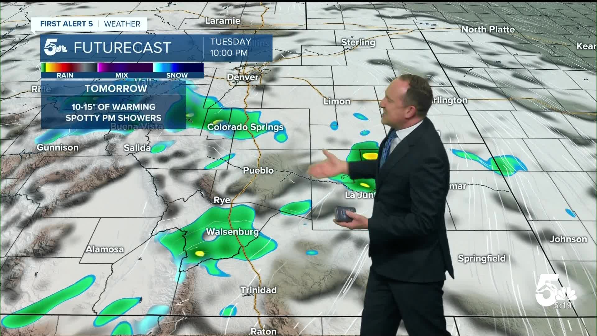
Tuesday's highs will rebound into the upper 60s in Colorado Springs and the 70s in Pueblo, with sunshine early giving way to increasing clouds and around a 30% chance of a spotty shower or afternoon thunderstorm. Strengthening southwest winds in the mid-week period will bring a return of 70s and 80s to the Plains from Wednesday to Thursday. Gusts to 30 mph will be possible on Wednesday, with 40-45 mph gusts by Thursday. With the stronger wind on Thursday, high fire danger threats will be elevated for parts of Southern Colorado.
Our next cold front on Friday will drop highs back down to the 50s late this week in Colorado Springs, with a chance for rain and snow showers continuing into the upcoming weekend.
____
Curious about the First Alert 5 Weather Storm Impact Scale? Check out our cheatsheet explainer.
Watch KOAA News5 on your time, anytime with our free streaming app available for your Roku, FireTV, AppleTV and Android TV. Just search KOAA News5, download and start watching.
