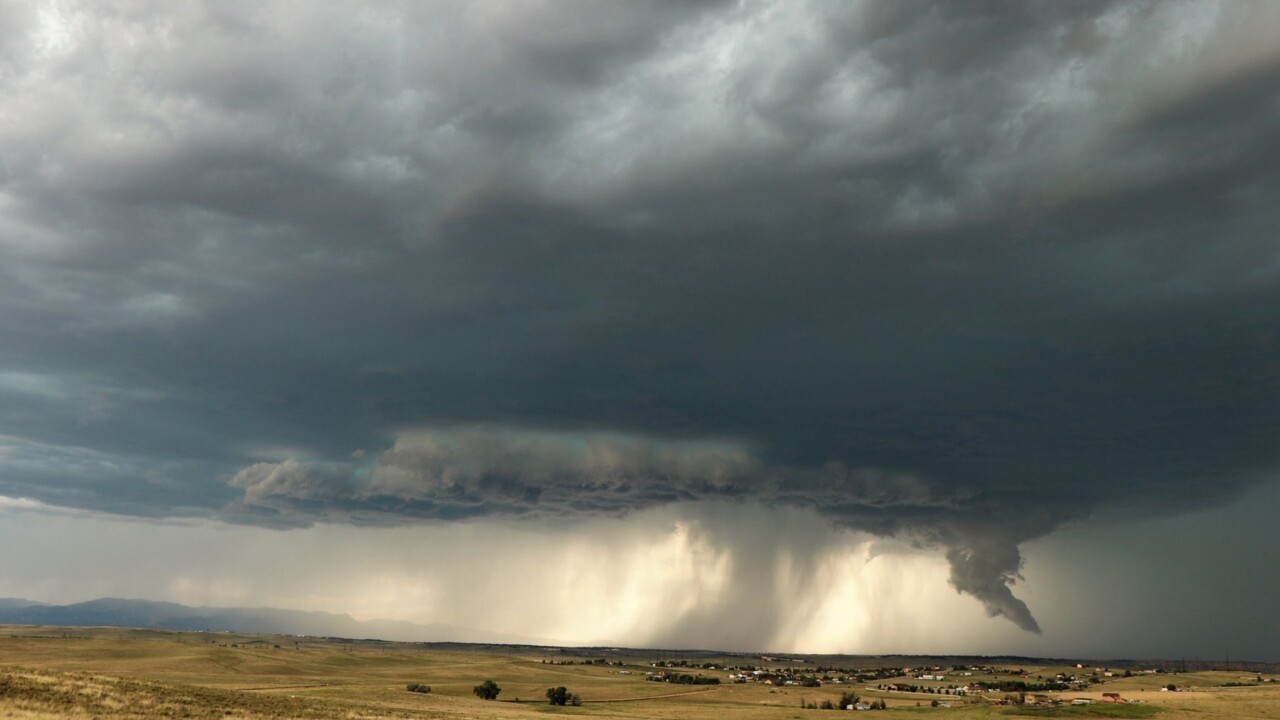
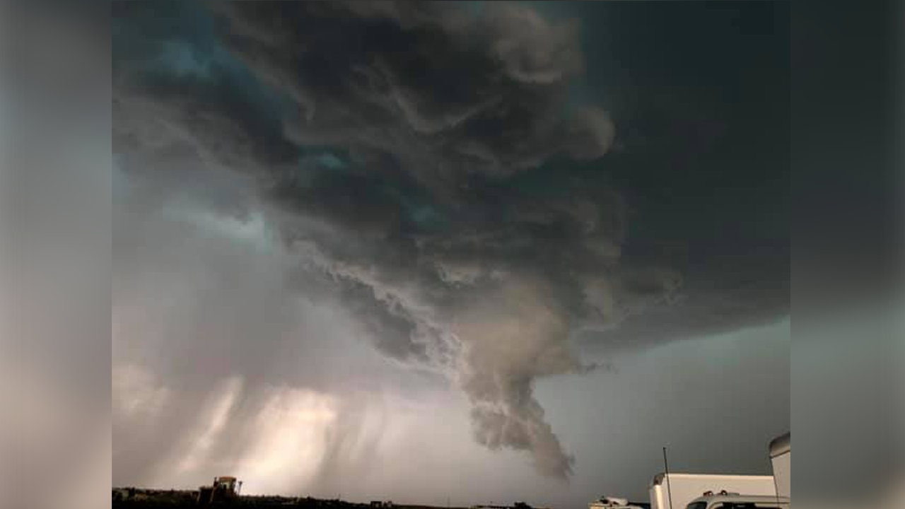
COLORADO SPRINGS — Monday at 3:30 pm, a large thunderstorm was moving southeast over the Palmer Divide into El Paso County.

Within an hour, 4:30 pm, the same thunderstorm had grown larger and began to rotate as it moved towards Falcon, northeast of Colorado Springs. At 4:54 pm, a trained spotter reported a funnel cloud lowering from the storm, with a tornado warning issued by the National Weather Service shortly after.
The big question is, was there actually a tornado in this storm, or was that funnel shape something else?
Based on reports gathered here at KOAA News 5, as well as talking with the National Weather Service branch in Pueblo, the current thinking is that despite the tornado warning, no tornado actually touched down. The lowering in the storm reported as a funnel cloud was likely something meteorologists call "Scud".
Scud is a very common feature in severe thunderstorms and is very often mistaken for a funnel cloud or even a tornado. Scud is formed when warm and moist air is sucked into the base of a thunderstorm. Scud is often jagged with no spin, unlike tornadoes which are smooth and rotate quickly.

Despite the fact that no tornado touched down, this supercell thunderstorm was still incredibly dangerous. Quarter sized hail and wind gusts reaching 75 mph were reported within this storm, both of which can easily cause damage to life and property. Please continue to treat every thunderstorm with caution, and be sure to follow News 5 for the most accurate forecast in southern Colorado.


